Date: 2024-2025
Client: Fugro
Skills: Miro, Figma, Design thinking, Strategic UX
Summary:
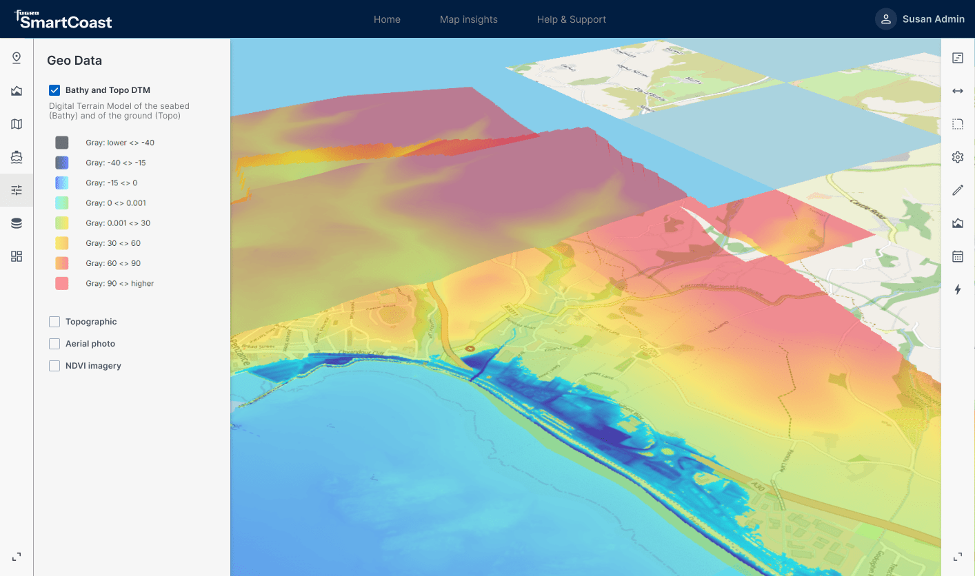
As lead UX Designer on the coastal reliance initiative I collaborated with a team of stakeholders to clearly define the business and customer needs to help me produce a coastal resilience management prototype that enables custodial land and sea rangers to monitor changes to their environment. This empowers the rangers to make informed decisions on the available data as well as share data with organisations that offer funding.
By applying design thinking methodology and leveraging essential UX collateral as discovery data, we were able to drive the UX of the MVP. This included:
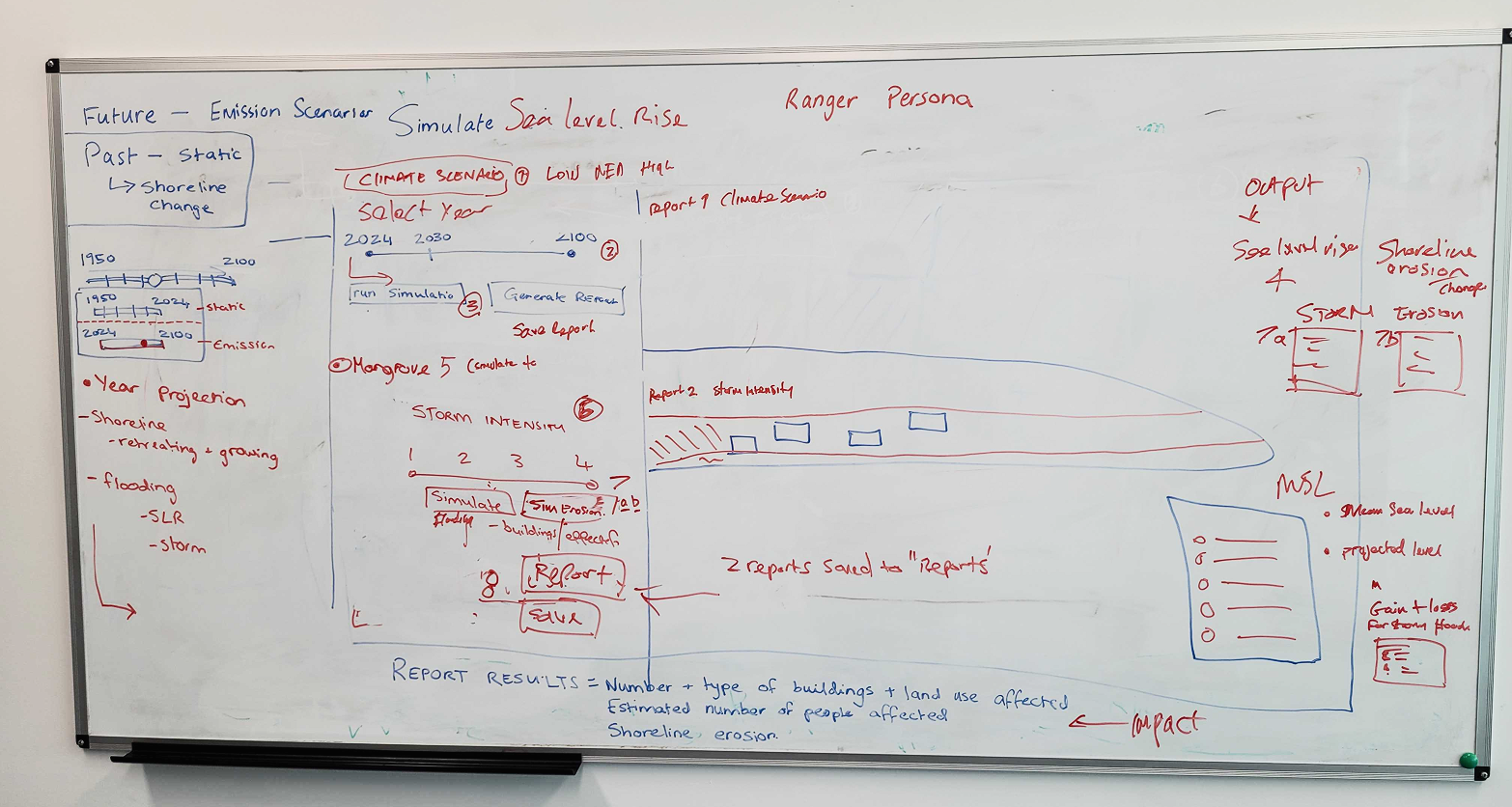
- Wireframing
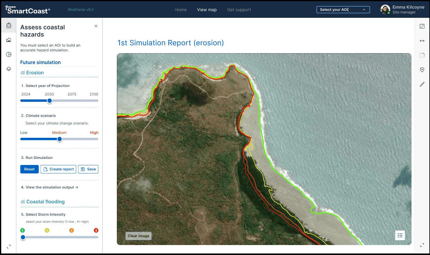
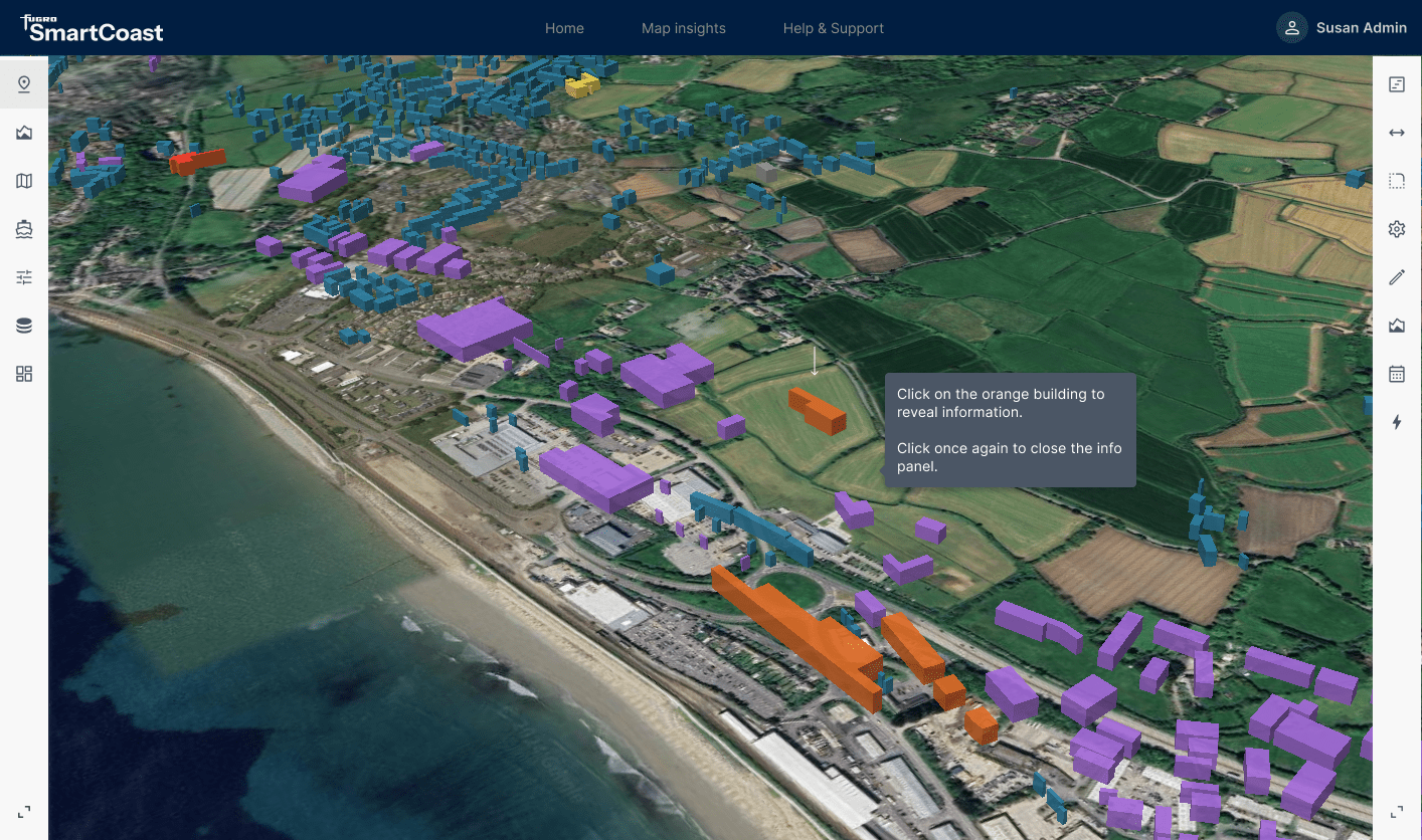
- Rapid prototyping in Uizard and Figma
- Mindmaps / IA
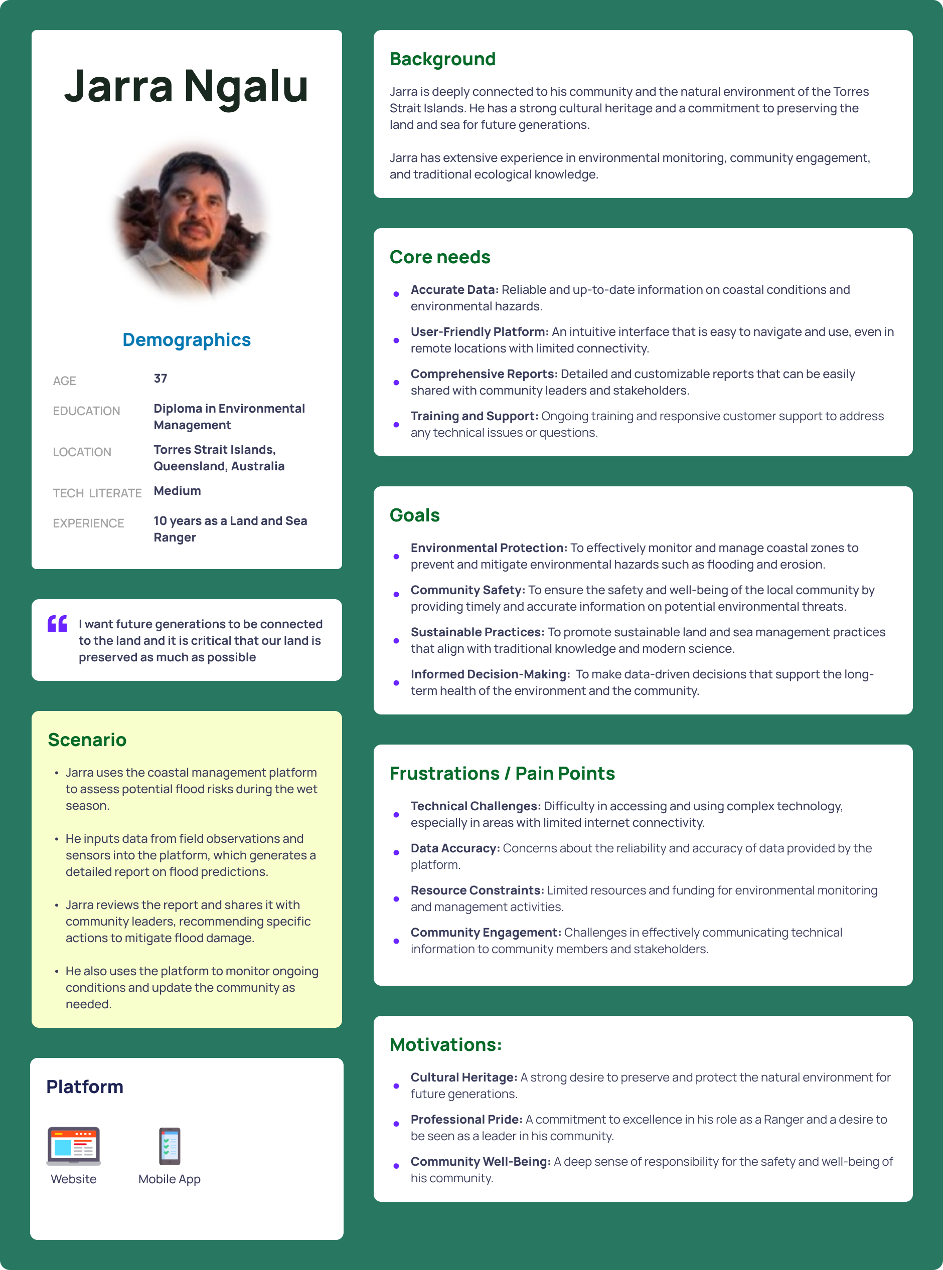
- Personas
- User interviews
- Customer Experience maps
- Competitor analysis
- Usability testing
The UI design shown here is based on the initial discovery phase and will likely be quite different from the final app.
The persona image below is based on the initial interview with a local ranger, using AI to refine various characteristics.